List of my modules...
Module: Geodesic Distance
Description:
Computes the geodesic distance (6-, 18-, or 26-distance) in the object defined by the mask, from the pixels defined in the marker image. A simple forest fire-type algorithm is used for computing the distance:
- All pixel are initialised to 0
- Pixels in the mask adjacent to the marker are set to 1
- Pixels in the mask adjacent to those set to 1 (and not of the marker) set are set to 2
- ...
- Pixels in the mask adjacent to those set to N (and not of the marker) are set to N+1
- When no more adjacent pixels in the mask are found, the algorithm stops
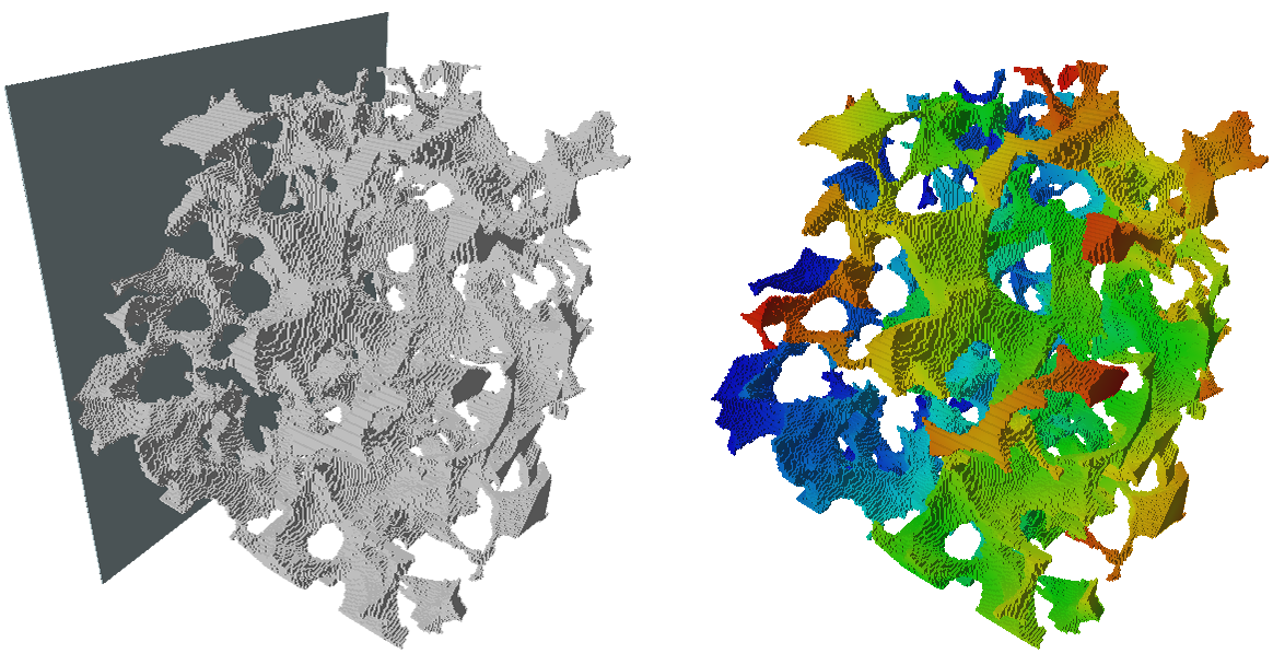
Left: Overlapping of the mask, which is the tortuous white object, and the marker, the plane on the left. Right: the resulting geodesic 6-distance from the marker in the mask, color-coded from blue (smallest distance) to red.
Connections:
Markers
[required]
The input marker image. For now, the only input type that has been implemented is HxUniformScalarField3.
Mask
[required]
The input mask. For now, the only input type that has been implemented is HxUniformScalarField3.
Ports:
Markers_threshold

Used to define which pixels in the markers image, along with the comparison operator, are used as markers.
Markers_Comparison

Used to define how the threshold value is used for defining marker pixels.
Mask_threshold

Used to define the object pixels in the mask, along with the comparison operator.
Mask_Comparison

Used to define how the threshold value is used for defining the mask.
Connectivity
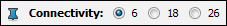
The algorithm description talks about adjacency. This port lets you choose the type of adjacency used.
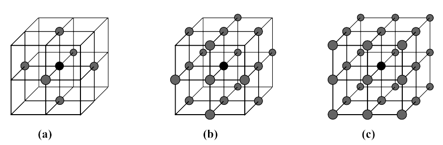
Illustration of the different connectivities. (a): 6-, (b): 18-, and (c): 26-connectivity (in case you didn't figure it out, n-connectivity means n pixels in the neighbourhood).
Action button

Push the button to compute.
Commands:
Additional options can be accessed when typing in the console Geodesic_Distance COMMAND_NAME. Typing the command again usually reverts back to original settings.
verbose
Displays timing information after the computation. Retype to hide info.
create
Runs the computation. Returns the name of the output, so it can be used in a script, such as set RESULT [Geodesic_Distance create].